-
Lisa Torell is an artist. In her work, she examines the public sphere, rights and regulations linked to democracy and the environment through performative and site-related methods. She frequently participates in solo/group exhibitions and also has experience in developing, organizing, leading and collaborating in various cross-disciplinary collaboration models within teaching, exhibitions, urban projects and research.
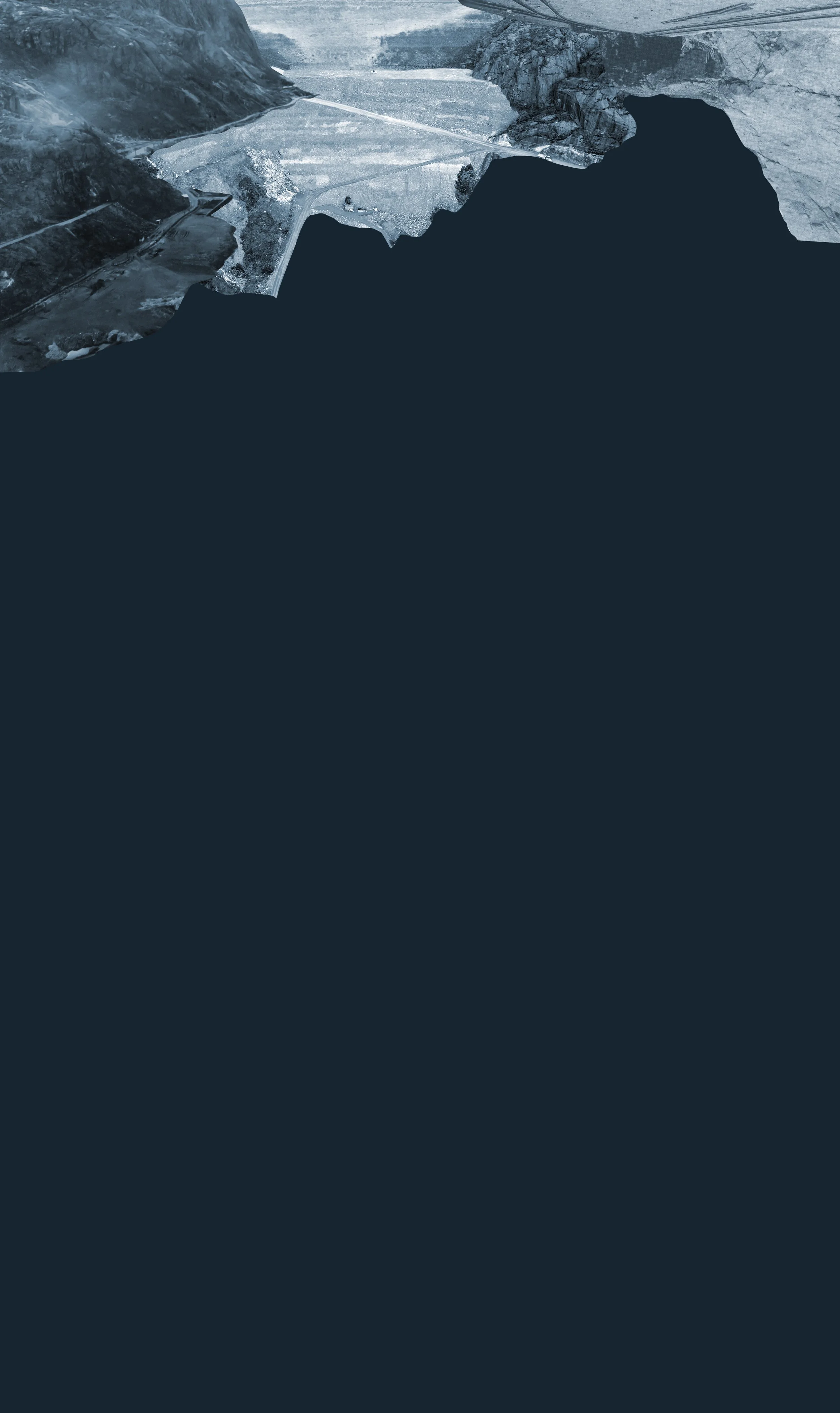
Historically, showing an unknown territory was simply to leave blank areas on the map. It signaled unknown territory . Another way is to have a dotted or dashed line . It is often used vid osäkra gränser, approximate coastline or an assumed väg or gräns.
Dotted or dashed signals then that this is not completely confirmed . In more modern map sketches or concept maps, a question mark is sometimes used to show: Unknown location, obekräftad structure or suspicious but not verified information . In text it can read: "Unknown area", "Not mapped", "Unsurveyed" or "Terra incognita".
Terra incognita is the Latin term and is often used on older maps. On older maps, the unknown could also be drawn as decorative symbols , in the form of: Sjödjur, dimma or wild fantasy animal . This signals that there are unknown dangers or unexplored areas . On modern GIS maps, unmarked or unsurveyed areas can be marked with: Light gray tone, striped pattern or raster pattern .
I am interested in the translation between image and reality, historical and cartographic ways of showing that something is unknown or uncertain, even if there is not yet one universal symbol that always means "we do not know what is found here", there have been several ways of showing it.
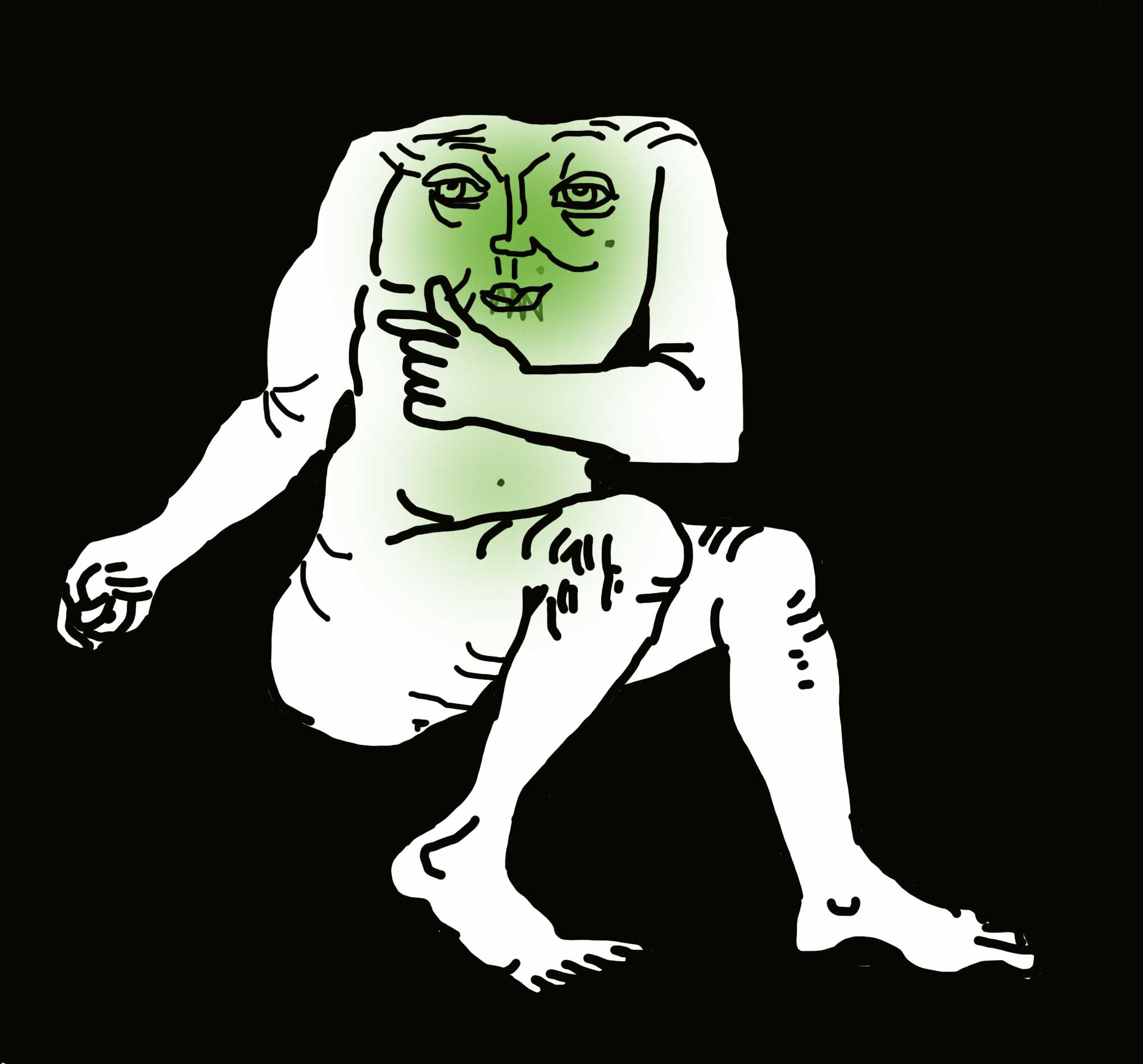
In addition, I would like to add a symbol for "this we can't yet know or we don't know about this yet", and involve the human body. As well as being able to demonstrate different forms of poison and changes . In relation to control, definition and a human will to try to see connections, to understand.
MORE FROM WASTE / DEPOSIT :
PAUL MAGNUS LUNDØ / filmmaker
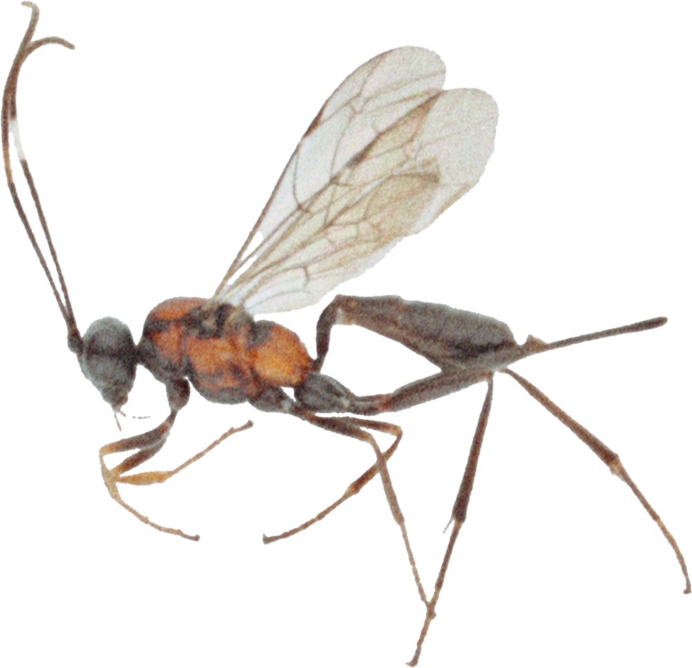
JARL BIRKELAND / amateur entomologist
TOVE KOMMEDAL / visual artist